Barnegat Bay’s Hidden Threat: The Cost of Marine Debris
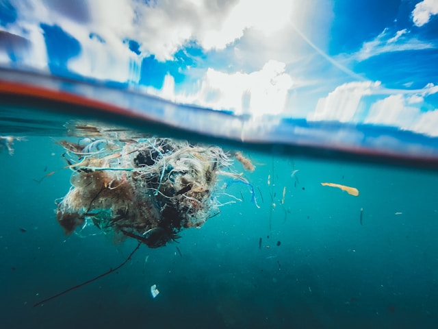
The greatest dangers to Barnegat Bay are often the ones you cannot see. Beneath the surface lies a heavy graveyard of underwater debris: submerged tires, jagged concrete blocks, and shattered construction remnants left behind by powerful coastal storms. For local boaters and jet skiers, these hidden obstacles create a treacherous obstacle course, capable of shattering hulls, ripping off lower units, and causing catastrophic accidents at high speeds.
Mapping the Hidden Bay Floor
The data in this catalog is mapped using advanced, crewless marine technology to protect Barnegat Bay.
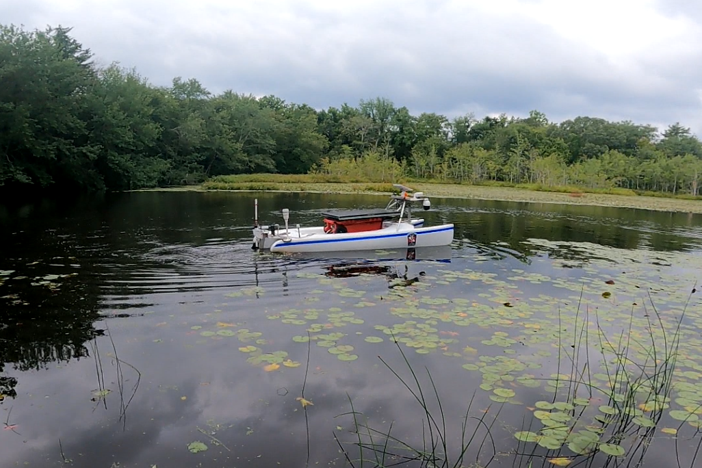
Traditional visual checks cannot see heavy debris hidden in murky or deep coastal waters. To map these hidden targets, our field team deploys a robotic boat known as the Survey USV.
This Unmanned Surface Vessel safely navigates shallow marshes, open water channels, and confined areas that larger, crewed research vessels cannot easily reach.
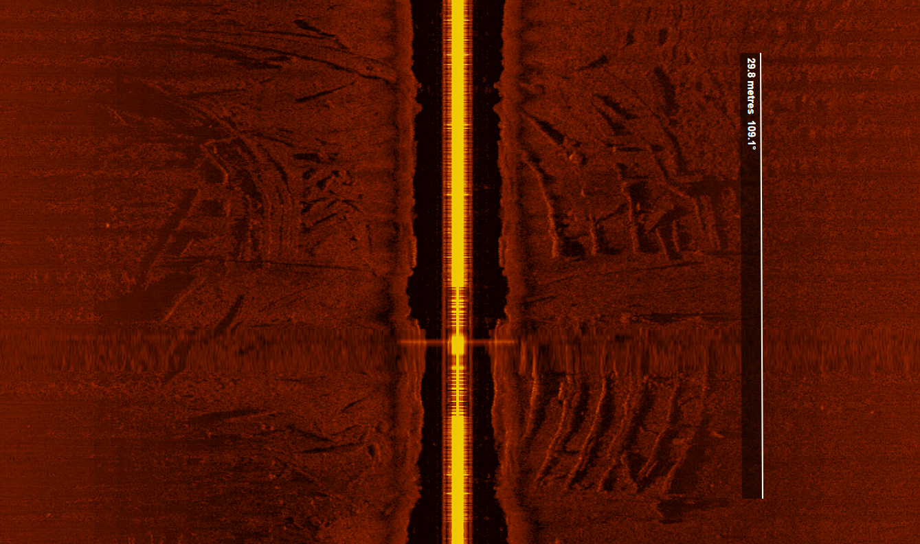
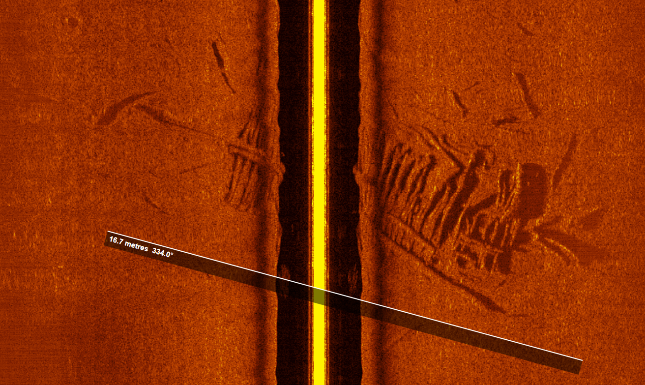
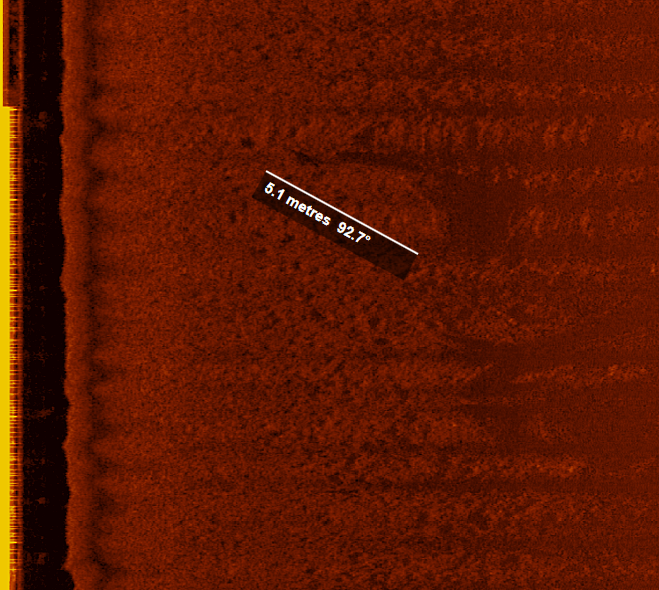
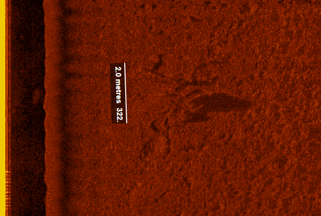
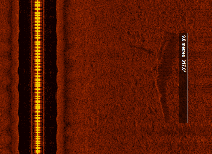
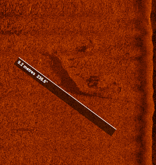
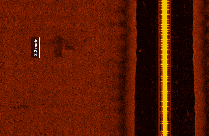
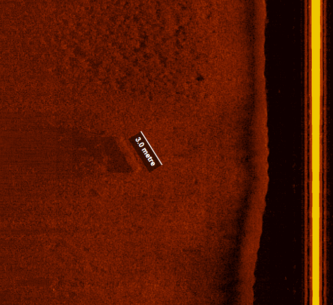
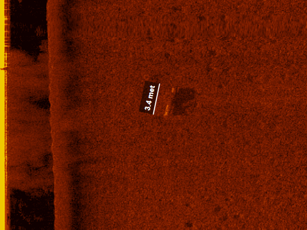
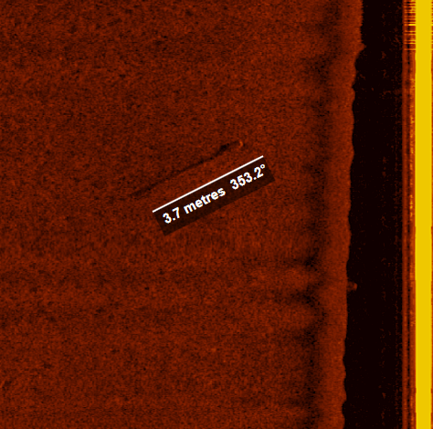
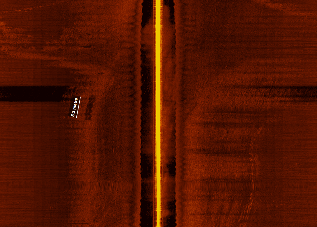
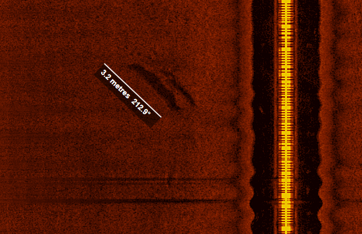
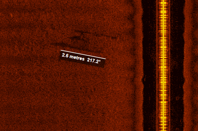
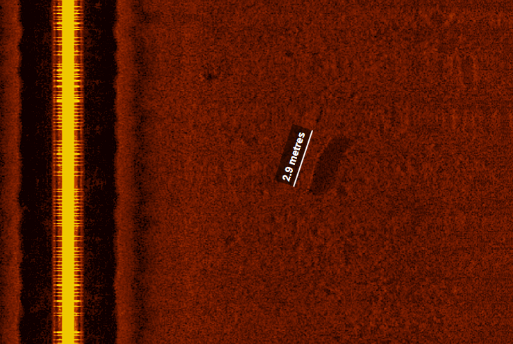
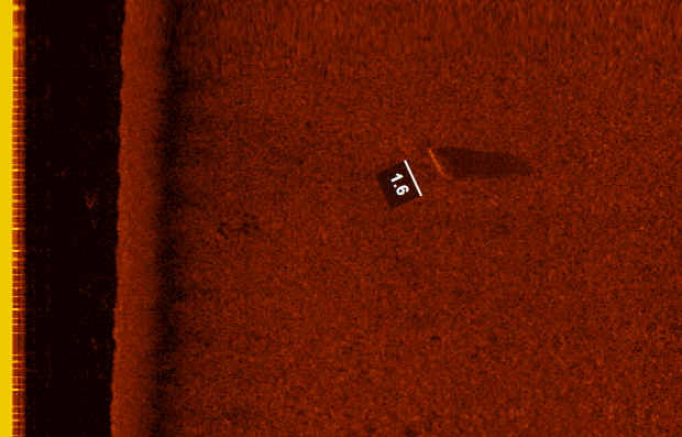
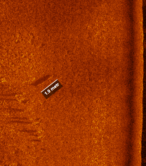
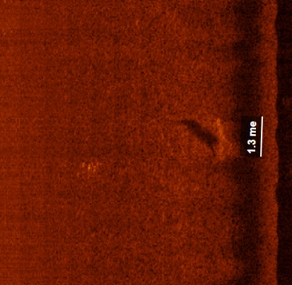
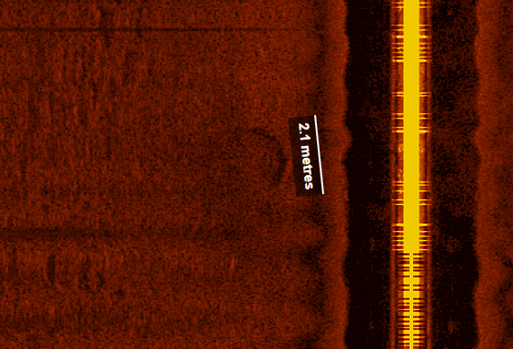
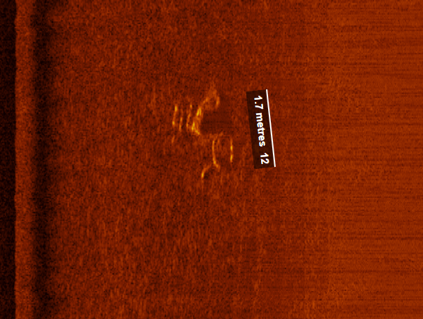
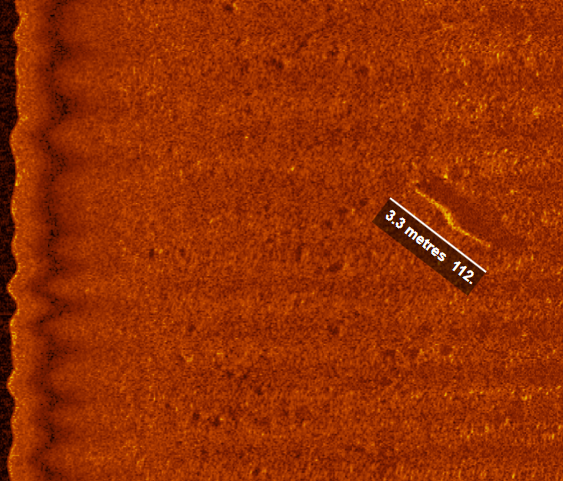
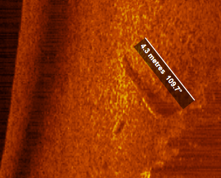
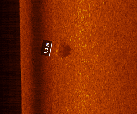
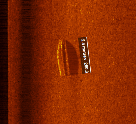
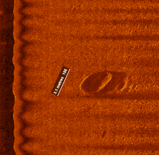
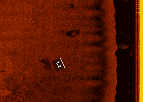
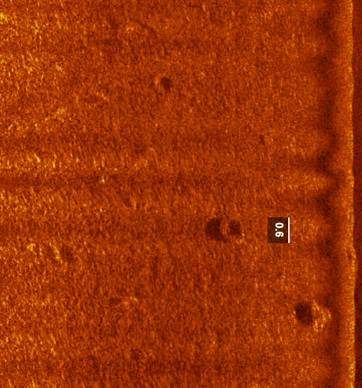
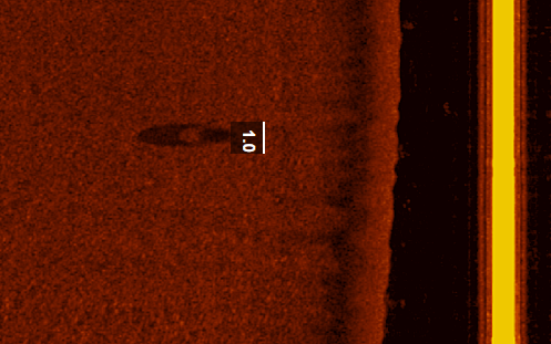
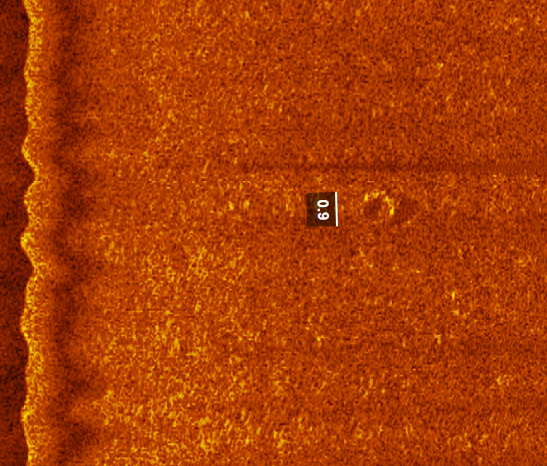
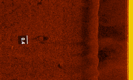
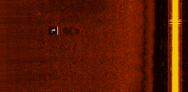
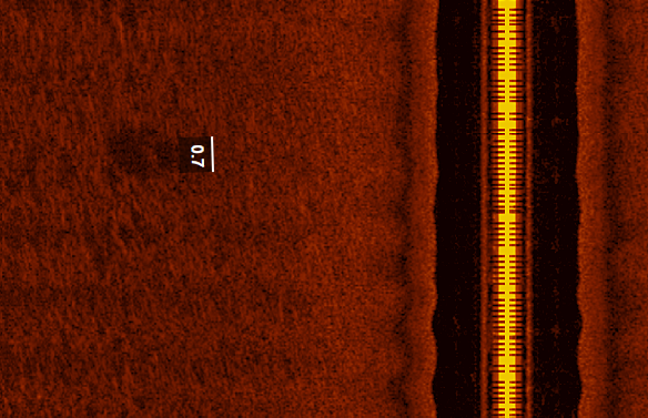
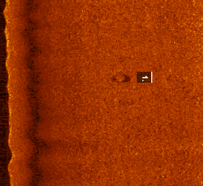
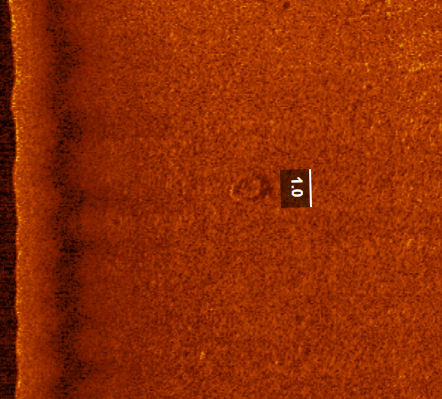
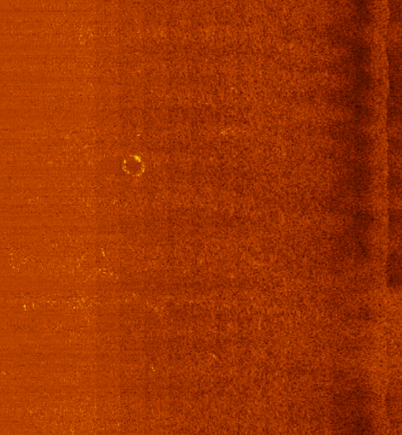
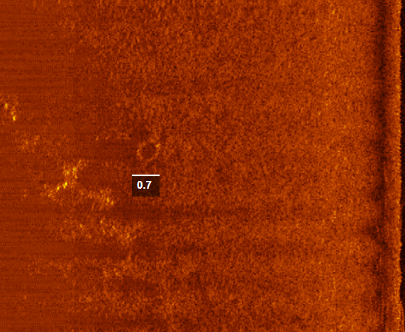
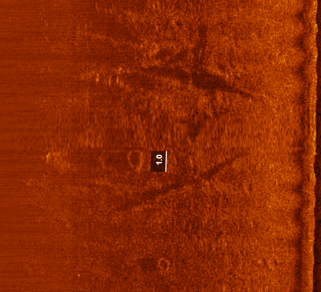
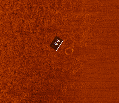
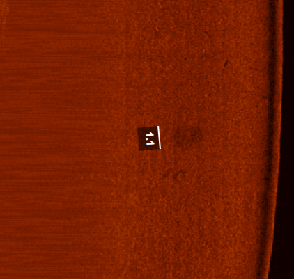
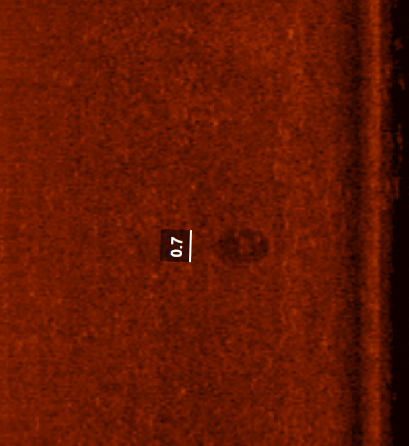
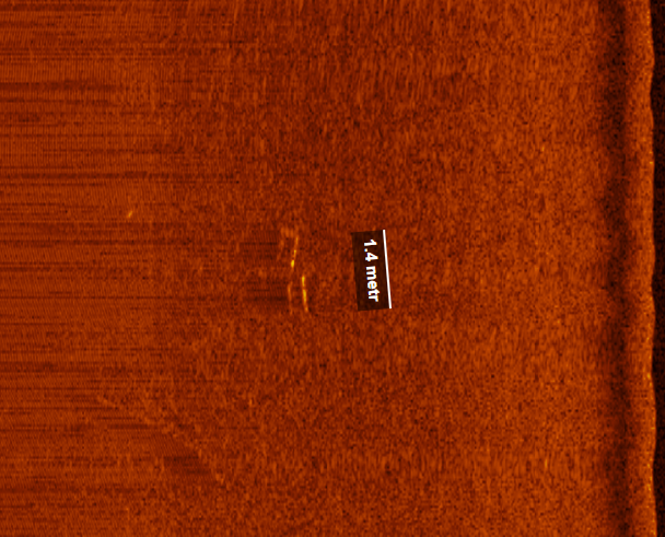
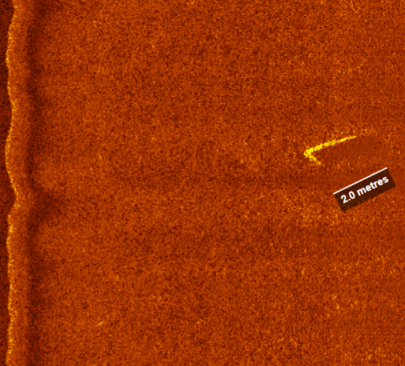
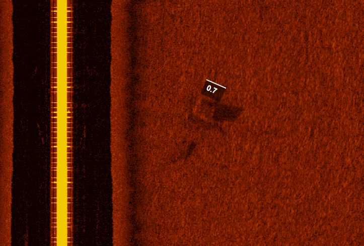
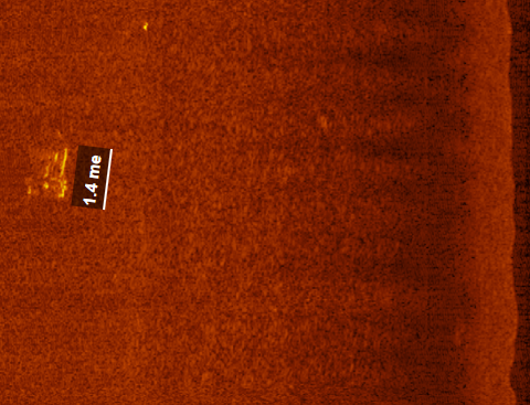
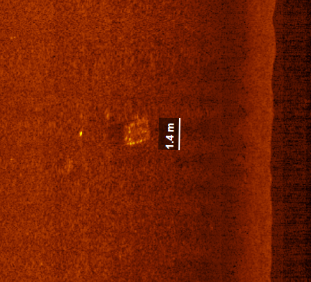
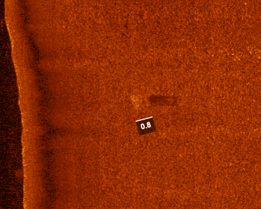
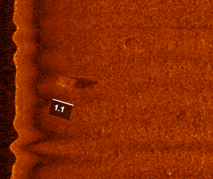
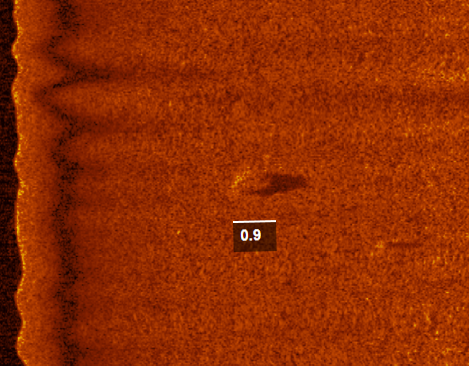
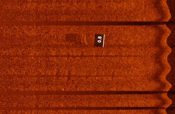
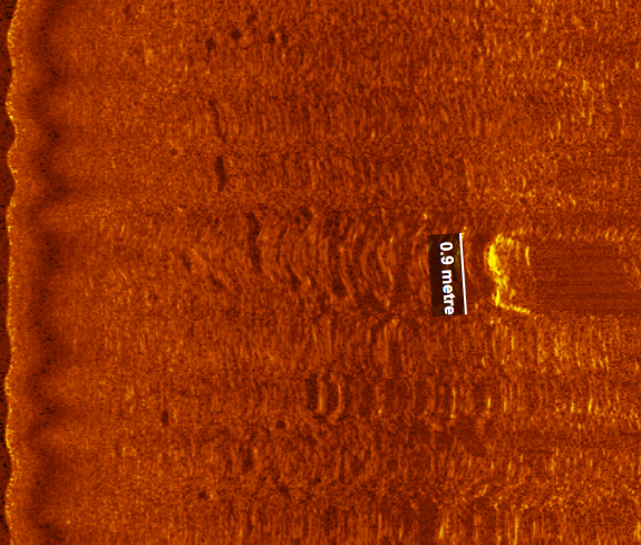
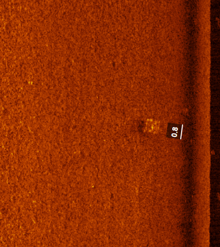
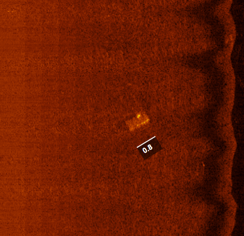
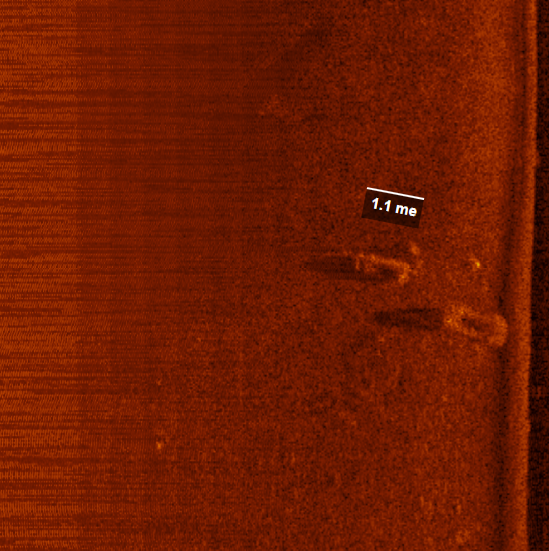
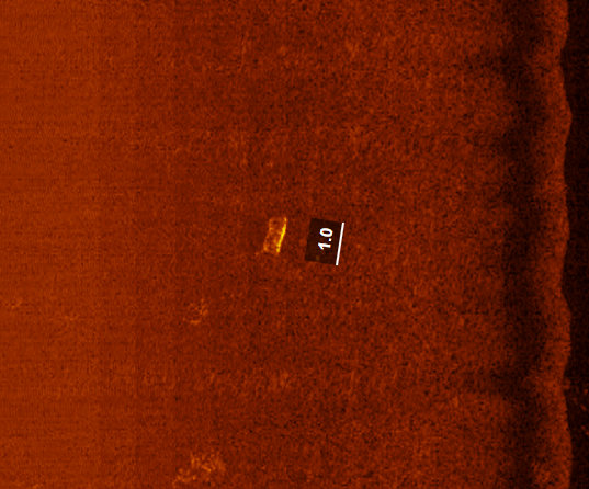
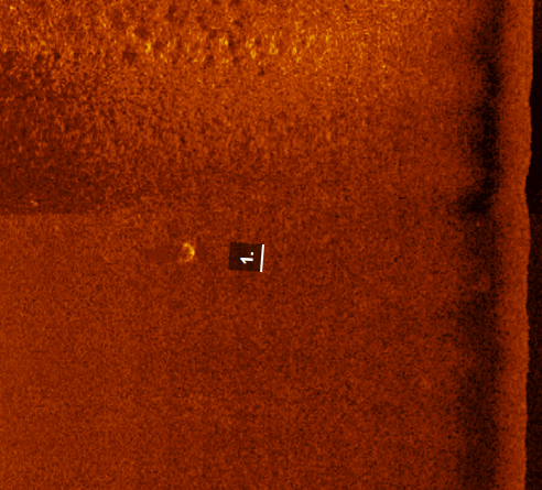
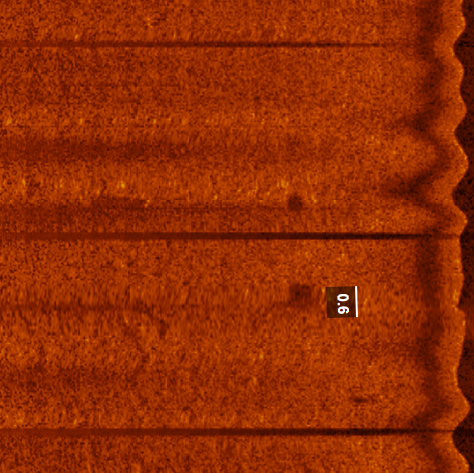
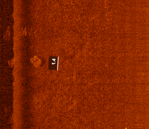
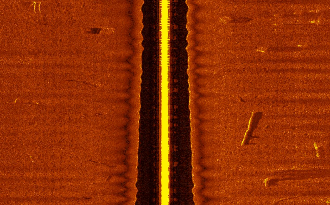
As the robotic boat travels along pre-programmed paths, it uses side-scan sonar to map the bay floor. This sensor shoots out sound waves and records the returning echoes to create clear, photographic-like images of the bottom. The sonar reveals the exact shape, size, and location of hidden structures like sunken concrete, tires, storm ruins, and forgotten crab pots.
With over 25 hours of active operations logged on the water, this mapping project continuously records and categorizes underwater targets. By translating sound waves into visual data coordinates, this catalog provides local boaters, researchers, and environmental teams with the precise information needed to safely navigate and restore Barnegat Bay.
Large-scale marine debris measuring up to 30×30 meters poses an immediate, severe threat to maritime safety in Barnegat Bay. These massive obstructions ranging from displaced docks and sunken vessel hulls to abandoned fishing gear clusters create catastrophic hazards for commercial boats, recreational vessels, and personal watercraft (PWCs) like jet skis.
Hull Breach and Structural Catastrophe
When a vessel strikes a massive, stationary object at cruising speed, the impact force often causes immediate hull fracturing or complete structural failure. Submerged debris can easily rip open fiber reinforced plastic or aluminum hulls, leading to rapid flooding and catastrophic damage to the keel. Furthermore, the sudden deceleration upon impact easily destabilizes smaller recreational boats, throwing passengers overboard and significantly increasing the risk of capsizing.
Propulsion and Steering Failure
Beyond structural destruction, large debris fields directly threaten a vessel’s mechanical operations. Heavy ropes, nets, or structural cables can entangle boat propellers, instantly seizing the engine and stripping the captain of control. When these heavy materials wrap around a spinning drive shaft, they bend the internal mechanisms and cause severe, costly mechanical failure. In many cases, the physical impact shears off or locks the rudders, leaving vessels completely unable to steer in busy coastal channels.
Specialized Hazards for Jet Skis and PWCs
Personal watercraft, such as jet skis, face a unique set of dangers due to their specialized propulsion systems. The jet pumps on these watercraft forcefully suck in water, meaning floating rope, plastic sheets, and smaller debris fragments are easily ingested into the intake. These materials instantly jam the internal impeller, destroying the pump and causing a total loss of power. Because jet skis operate at high speeds and ride low to the water, striking a semi submerged object can violently launch riders over the handlebars into the water.
Subsurface and Blind Spot Risks
The danger of these massive obstructions is compounded by their low visibility and unpredictable nature. Tidal fluctuations frequently conceal large debris just inches below the water surface, making them entirely invisible to the naked eye during high tide. This risk intensifies during fog, dusk, and night navigation, when low light conditions mask the hazards until it is too late to alter course. Because strong bay currents and storm surges constantly shift the positions of these large objects, they remain moving targets that are impossible to chart permanently.
Catalog No
4014
Risk group
High
Length
98.42ft / 30m
Width
~98.42ft / 30m
Depth
4.62ft / 1.41m
Catalog No
4059
Risk group
High
Length
54.79ft / 16.7m
Width
21.32ft / 6.5m
Depth
5.67ft / 1.73m
Catalog No
4024
Risk group
High
Length
16.73ft / 5.1m
Width
~6.56ft / 2m
Depth
4.12ft / 1.25m
Catalog No
4013
Risk group
High
Length
6.56ft / 2m
Width
6.56ft / 2m
Depth
5.93ft / 1.81m
Catalog No
4009
Risk group
High
Length
29.52ft / 9m
Width
1.64ft / 0.5m
Depth
4ft / 1.22m
Catalog No
4054
Risk group
High
Length
30.18ft / 9.2m
Width
16.40ft / 5m
Depth
6.62ft / 2.02m
Catalog No
4012
Risk group
Medium
Length
7.21ft / 2.2m
Width
1.31ft / 0.4m
Depth
6.39ft / 1.95m
Catalog No
4017
Risk group
Medium
Length
9.84ft / 3m
Width
1.96ft / 0.6m
Depth
6.02ft / 1.89m
Catalog No
4022
Risk group
Medium
Length
11.15ft / 3.4m
Width
1.96ft / 0.6m
Depth
6.75ft / 2.06m
Catalog No
4023
Risk group
Medium
Length
12.13ft / 3.7m
Width
0.98ft / 0.3m
Depth
5.28ft / 1.61m
Catalog No
4002
Risk group
Medium
Length
17.38ft / 5.3m
Width
1.31ft / 0.4m
Depth
5.18ft / 1.58m
Catalog No
4005
Risk group
Medium
Length
10.49ft / 3.2m
Width
3.6ft / 1.1m
Depth
4ft / 1.22m
Catalog No
4006
Risk group
Medium
Length
7.87ft / 2.4m
Width
8.53ft / 2.6m
Depth
4.1ft / 1.25m
Catalog No
4008
Risk group
Medium
Length
9.51ft / 2.9m
Width
0.98ft / 0.3m
Depth
4.88ft / 1.49m
Catalog No
4016
Risk group
Medium
Length
5.24ft / 1.6m
Width
0.98ft / 0.3m
Depth
1.31ft / 0.4m
Catalog No
4040
Risk group
Low
Length
6.23ft / 1.9m
Width
0.32ft / 10cm
Depth
8.16ft / 2.49m
Catalog No
4065
Risk group
Low
Length
5.57ft / 1.3m
Width
1.96ft / 60cm
Depth
6.82ft / 2.08m
Catalog No
4007
Risk group
Medium
Length
6.88ft / 2.1m
Width
6.88ft / 2.1m
Depth
4.88ft / 1.49m
Catalog No
4061
Risk group
Low
Length
5.57ft / 1.7m
Width
4.92ft / 1.5m
Depth
5.97ft / 1.82m
Catalog No
4037
Risk group
Low
Length
10.82ft / 3.3m
Width
0.65ft / 20cm
Depth
5.71ft / 1.74m
Catalog No
4068
Risk group
Low
Length
14.10ft / 4.3m
Width
0.65ft / 20cm
Depth
17.19ft / 5.24m
Catalog No
4069
Risk group
Low
Length
4.26ft / 1.3m
Width
0.65ft / 20cm
Depth
14.20ft / 4.33m
Catalog No
4070
Risk group
Low
Length
4.26ft / 4.2m
Width
1.31ft / 40cm
Depth
11.61ft / 3.54m
When sunken vehicle tires rest in the waters of Barnegat Bay, they act as a hidden threat to our local marine ecosystem. While they might look like inert trash, these submerged tires cause continuous physical and chemical damage to the unique coastal habitats that support New Jersey’s marine life.
The Chemical Threat to Bay Waters
Submerged tires act as permanent sources of pollution, slowly leaching toxic substances directly into the estuary:
Heavy Metals: Over time, tires release harmful metals including zinc, lead, and cadmium into the water column and surrounding sediment.
Lethal Chemical Additives: Tire rubber contains 6PPD, a chemical that transforms into 6PPD-quinone. This specific compound is highly toxic to fish and aquatic life.
Synthetic Oils: Plasticizers and softening agents leak out continuously, degrading the water quality that local species rely on.
Beyond chemical pollution, tires physically disrupt and endanger the delicate balance of the bay’s bottom-dwelling communities:
Habitat Destruction: Driven by strong tides and storm surges, loose tires roll and shift across the bay floor. This movement crushes fragile eelgrass beds and disrupts the benthic communities where young fish and crabs hide.
Microplastic Generation: As waves and sand grind down the rubber, the tires break apart into microscopic fragments. These microplastics are easily swallowed by local filter feeders like clams and oysters, moving toxic chemicals straight up the Barnegat Bay food chain.
Catalog No
4050
Risk group
High
Length
10.17ft / 3.1m
Width
10.17ft / 3.1m
Depth
5.41ft / 1.65m
Catalog No
4018
Risk group
Medium
Length
3.93ft / 1.2m
Width
2.29ft / 0.7m
Depth
5.67ft / 1.73m
Catalog No
4042
Risk group
Medium
Length
1.96ft / 60cm
Width
1.96ft / 60cm
Depth
3.96ft / 1.21m
Catalog No
4015
Risk group
Medium
Length
3.28ft / 1m
Width
3.28ft / 1m
Depth
6.36ft / 1.94m
Catalog No
4056
Risk group
Medium
Length
2.95ft / 90cm
Width
2.95ft / 90cm
Depth
4.19ft / 1.28m
Catalog No
4019
Risk group
Medium
Length
1.31ft / 40cm
Width
1.31ft / 40cm
Depth
7.28ft / 2.22m
Catalog No
4003
Risk group
Medium
Length
3.2ft / 1m
Width
3.2ft / 1m
Depth
5.21ft / 1.59m
Catalog No
4010
Risk group
Medium
Length
2.29ft / 70cm
Width
2.29ft / 70cm
Depth
3.87ft / 1.18m
Catalog No
4032
Risk group
Medium
Length
3.28ft / 1m
Width
3.28ft / 1m
Depth
8.59ft / 2.62m
Catalog No
4033
Risk group
Medium
Length
3.28ft / 1m
Width
3.28ft / 1m
Depth
8.36ft / 2.55m
Catalog No
4058
Risk group
Medium
Length
3.28ft / 1m
Width
3.28ft / 1m
Depth
7.90ft / 2.41m
Catalog No
4062
Risk group
Medium
Length
2.29ft / 70cm
Width
2.29ft / 70cm
Depth
4.95ft / 1.51m
Catalog No
4063
Risk group
Medium
Length
2.29ft / 70cm
Width
2.29ft / 70cm
Depth
3.14ft / 96cm
Catalog No
4067
Risk group
Medium
Length
1.96ft / 60cm
Width
1.96ft / 60cm
Depth
4.46ft / 1.36m
Catalog No
4071
Risk group
Medium
Length
3.60ft / 110cm
Width
3.60ft / 110cm
Depth
6.46ft / 1.97m
Catalog No
4072
Risk group
Medium
Length
2.29ft / 70cm
Width
2.29ft / 70cm
Depth
5.24ft / 1.60m
The Ghost Fishing Threat to Barnegat Bay
When abandoned crab pots rest in the waters of Barnegat Bay, they act as a hidden threat to the local marine ecosystem, causing continuous physical and biological damage through ghost fishing. These derelict traps create a “ghost loop” of mortality for fish and crustaceans, while also destroying fragile habitats and creating navigation hazards for boaters.
Catalog No
4060
Risk group
Medium
Length
4.59ft / 1.4m
Width
1.31ft / 0.4m
Depth
9.94ft / 3.03m
Catalog No
4055
Risk group
Medium
Length
6.56ft / 2m
Width
4.59ft / 1.4m
Depth
3.83ft / 1.17m
Catalog No
4011
Risk group
Medium
Length
2.95ft / 90cm
Width
2.29ft / 70cm
Depth
6.39ft / 1.95m
Catalog No
4030
Risk group
Low
Length
4.59ft / 1.4m
Width
3.93ft / 1.2m
Depth
11.38ft / 3.47m
Catalog No
4031
Risk group
Low
Length
4.59ft / 1.4m
Width
3.93ft / 1.2m
Depth
11.38ft / 3.47m
Catalog No
4034
Risk group
Low
Length
2.62ft / 80cm
Width
2.62ft / 80cm
Depth
7.87ft / 2.4m
Catalog No
4035
Risk group
Low
Length
3.60ft / 1.1m
Width
1.96ft / 60cm
Depth
7.31ft / 2.23m
Catalog No
4036
Risk group
Low
Length
2.95ft / 90cm
Width
1.47ft / 45cm
Depth
7.31ft / 1.98m
Catalog No
4051
Risk group
Low
Length
2.62ft / 80cm
Width
1.96ft / 60cm
Depth
5.41ft / 1.65m
Catalog No
4038
Risk group
Low
Length
2.95ft / 90cm
Width
2.29ft / 70cm
Depth
4.26ft / 1.3m
Catalog No
4039
Risk group
Low
Length
2.62ft / 80cm
Width
2.62ft / 80cm
Depth
8.46ft / 2.58m
Catalog No
4066
Risk group
Low
Length
2.62ft / 80cm
Width
1.96ft / 40cm
Depth
1.31ft / 2.17m
Catalog No
4053
Risk group
Low
Length
1.96ft / 60cm
Width
1.64ft / 50cm
Depth
3.80ft / 1.16m
Catalog No
4064
Risk group
Low
Length
3.28ft / 1m
Width
1.96ft / 60cm
Depth
7.31ft / 2.23m
Catalog No
4041
Risk group
Low
Length
3.28ft / 1m
Width
3.28ft / 1m
Depth
8.33ft / 2.54m
Catalog No
4052
Risk group
Low
Length
1.96ft / 60cm
Width
1.64ft / 50cm
Depth
5.41ft / 1.65m
Catalog No
4057
Risk group
Low
Length
4.59ft / 1.4m
Width
4.59ft / 1.4m
Depth
6.59ft / 2.01m
Clusters
Catalog No
C-6001
Risk group
Medium
Depth
6.56ft / 2m
Protect Our Waters
Barnegat Bay’s safety relies on the precise work of our underwater search and rescue divers and marine scientists. As we actively survey the bay floor to locate and map these massive structural hazards, our mission depends heavily on community backing to keep operations moving forward. By connecting with our team, you play a vital role in sustaining the specialized equipment, dive operations, and scientific research required to keep our local waters safe, clean, and navigable.